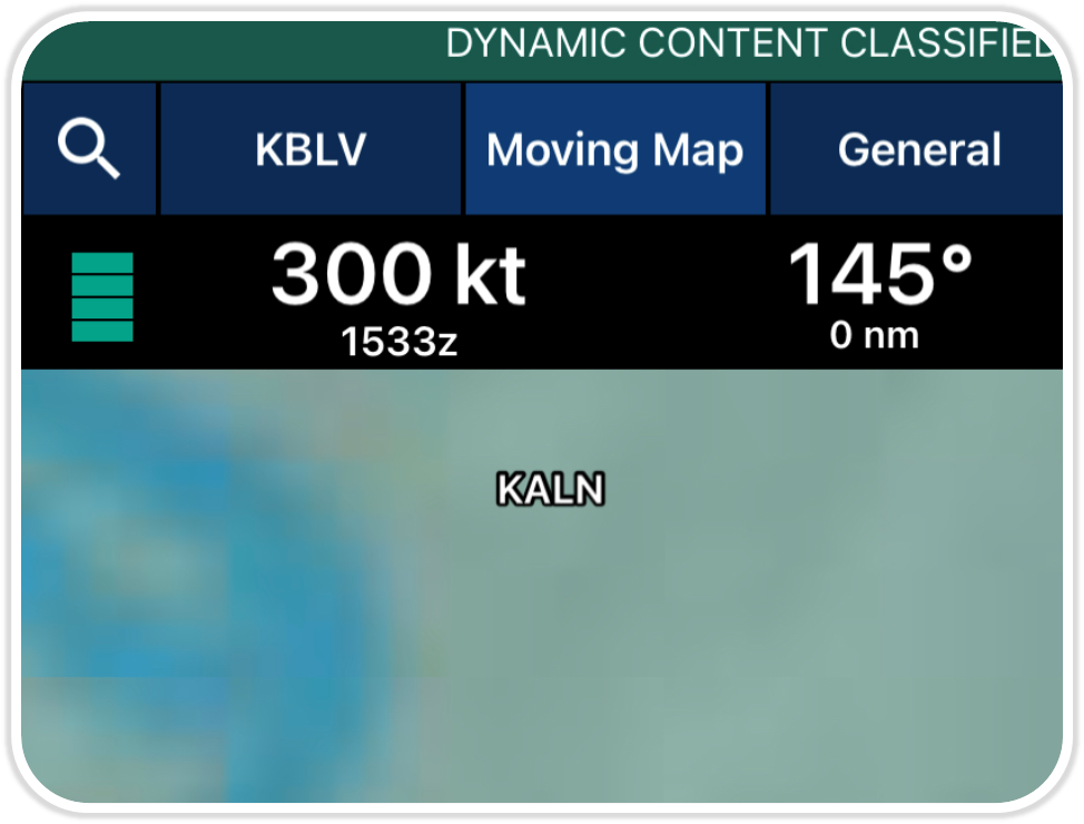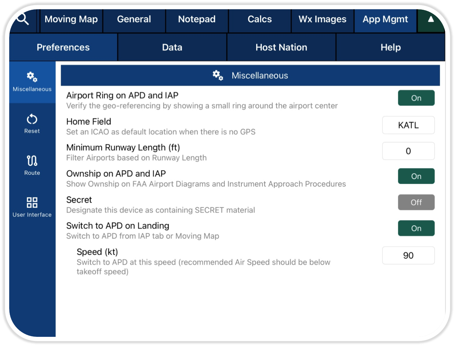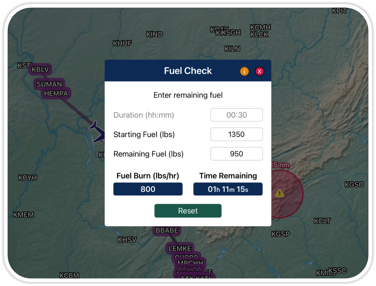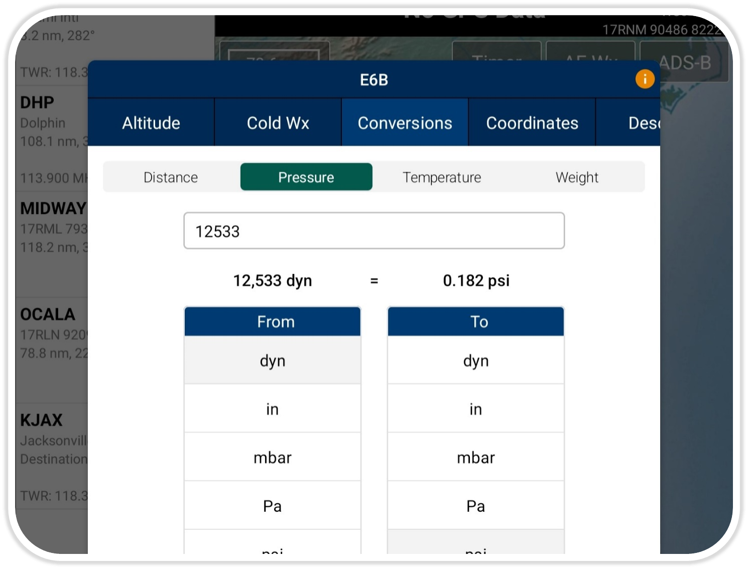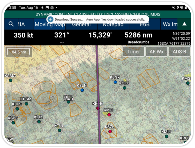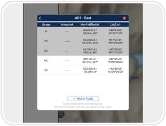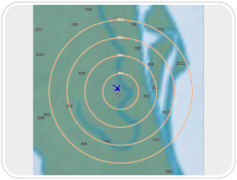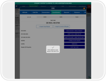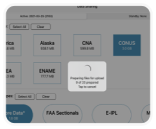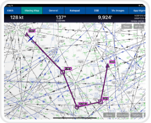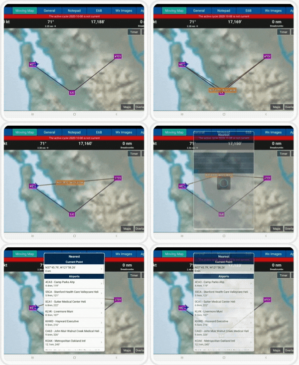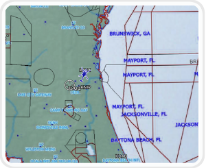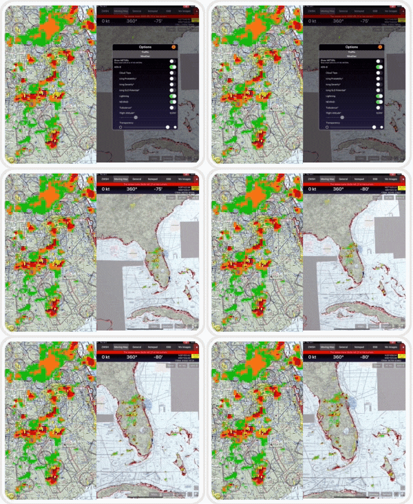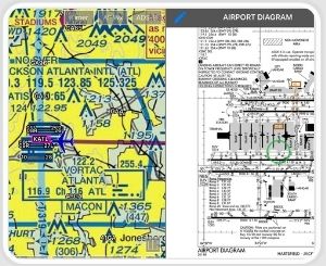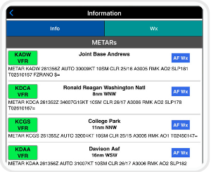
Pilots can customize how nearby traffic is displayed on the Map with new filter options, including adjustable distance and altitude limits. Additionally, you can view your ownship’s track for improved situational awareness and better control of surrounding traffic.
(Available on Aero App- iOS)

User Profile
Pilots can now create and apply custom data download settings for each mission. Each profile saves custom data download preferences, making it easy to switch between different mission setups. The active profile controls which data is downloaded, with an option for manual on-demand data downloads when needed.
(Available on Aero App – iOS)
Split Screen Enhancement
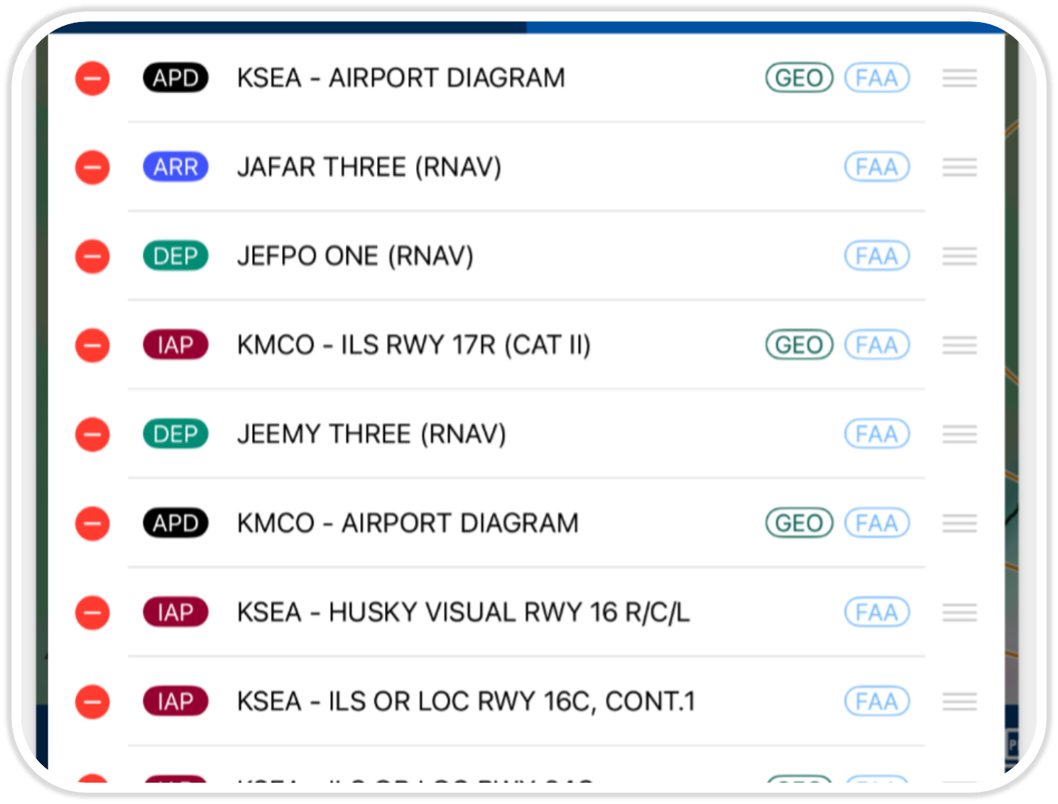
Aero App’s new split screen enhancement allows you to effortlessly compile user-selected terminal charts directly from the split screen view into a single, easy-to-access list. Customize the Chart List by adding, removing, and reordering charts on the fly, all while viewing charts in split screen mode, providing a more streamlined experience.
(Available on Aero App – iOS)

Pilots can overlay Air Defense Identification Zone (ADIZ) sectors on the Moving Map. Pilots can access detailed information on the specific areas of airspace such as its name, identifier, minimum altitude, maximum altitude, controlling agency, and frequencies.
(Available on Aero App- iOS, Android)
Moving Map Update
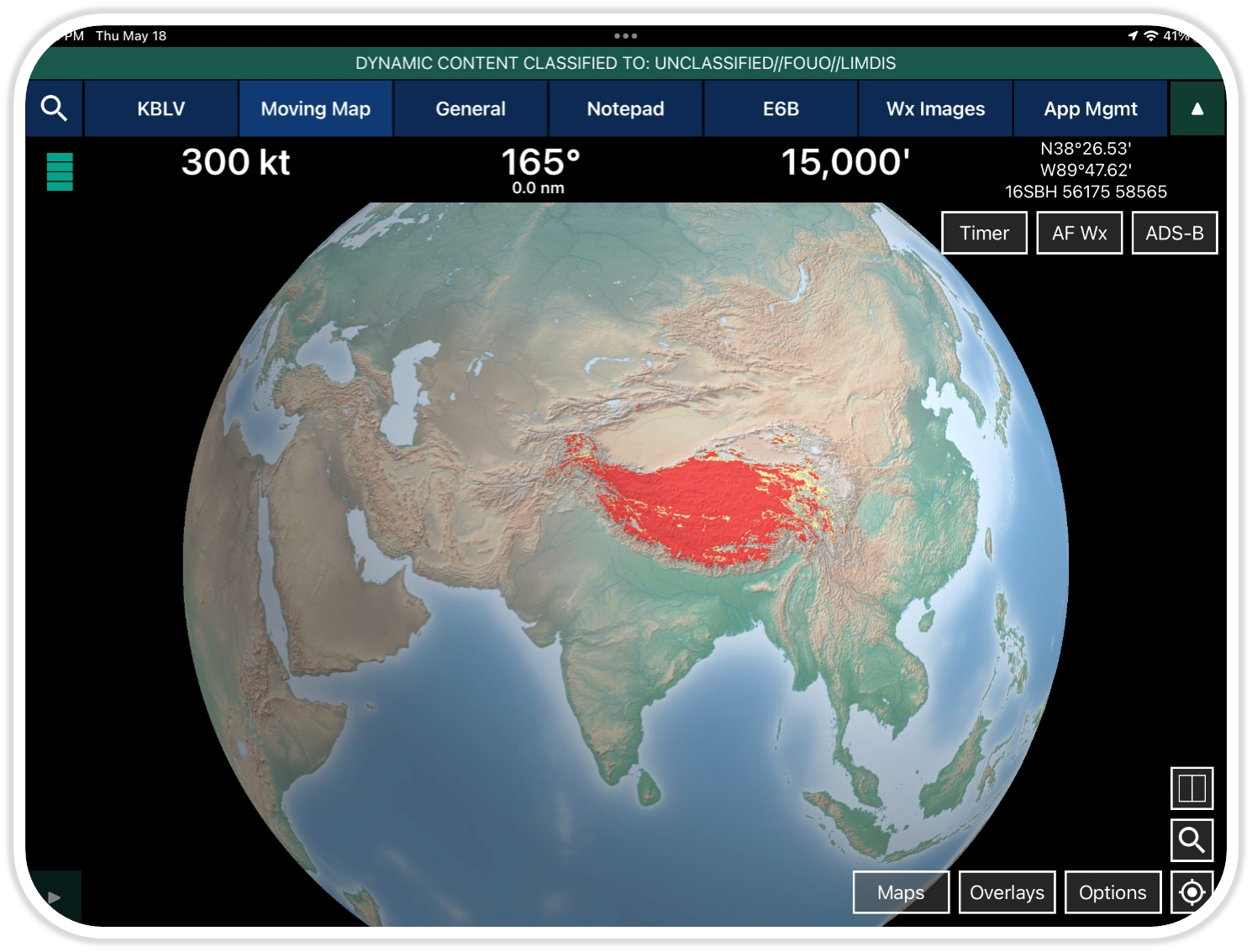
Aero App’s Moving Map has been enhanced to improve performance, for a more responsive and optimized experience.
(Available on Aero App – iOS)

API to ATAK
ATAK users can now interface with Aero App to request data such as airport information and airport charts.
(Available on Aero App – Android)
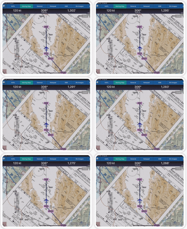
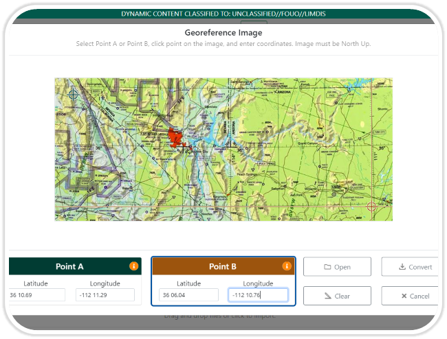
Georeferenced Charts
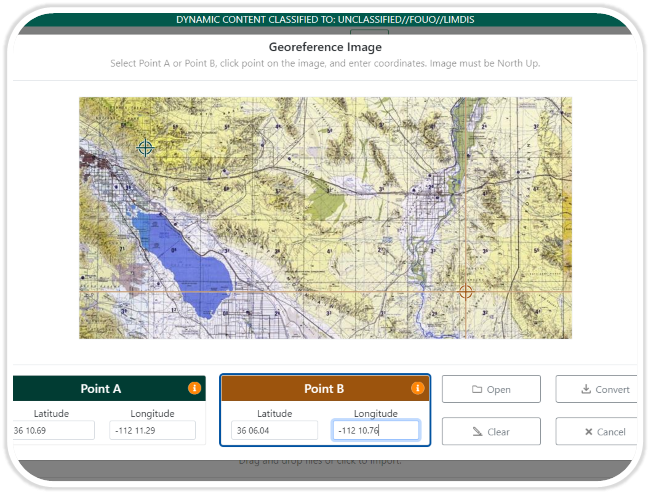
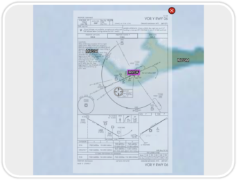
Georeferenced Approach Charts fit seamlessly into the moving map. Aero App uses comprehensive and accurate georeferencing data for the most accurate aircraft positioning possible.
(Available on Aero App – iOS, Android)
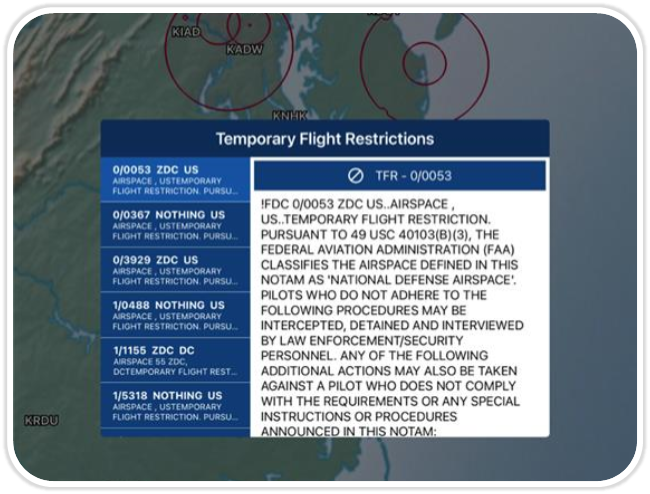
Temporary Flight Restrictions (TFRs) ![]()
Aero App has the ability to display graphical and textual TFR information on demand with the connection of cellular data, Wi-Fi, or an ADS-B receiver. Pilots have the ability to access up-to-date TFR data during their preflight or inflight experience.
(Available on Aero App – iOS, Android)
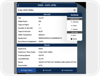
Aero App enables users to conveniently file ICAO flight plans. From the Route Panel, users can access previously filed flight plans, add or edit Aircraft information for ease of access when filing a new flight plan, and enter or update Flight Service credentials. This feature is available to FAA and DOD users.
(Available on Aero App – iOS, Android)
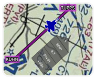
Pilots can enter Groundspeed, select Time on Target, and Doghouses will automatically adjust Estimated Time of Departure, Estimated Time Enroute, Estimated Time of Arrival, and even show pilots up to the second how ahead or behind they are on their Time on Target.
(Available on Aero App – iOS, Android)
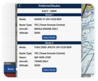
This feature allows for enhancement of a pilot’s current route by reducing unnecessary route and providing various options for new/revised direct routes. Pilots can select their choice of Departure Procedure (DP) or Standard Arrival Procedure (STAR) and add to their current route, with their new route displaying with a single tap.
(Available on Aero App – iOS, Android)
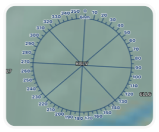
Enhanced Orbits
The existing Orbit feature has been enhanced for better pilot configuration. Pilots can now set their magnetic variance, modify the value of their rings, set the distance at their leisure, and much more. Pilots can also overlay a user-defined radius around a selected point on the Moving Map and can select the color and transparency option.
(Available on Aero App – iOS)
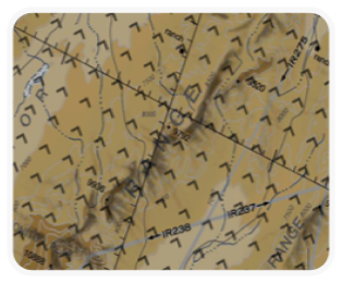
Mountainous Areas
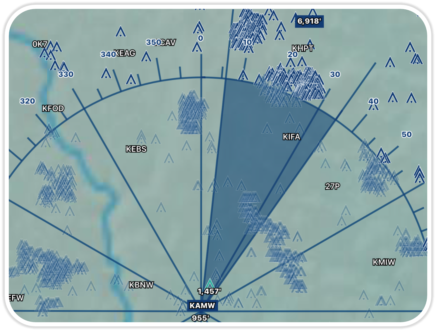
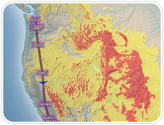
Mountainous Areas are zones characterized by mountain ranges; these zones will be overlaid on the Moving Map over the United States and its territories.
(Available on iOS)
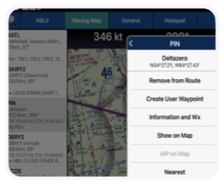
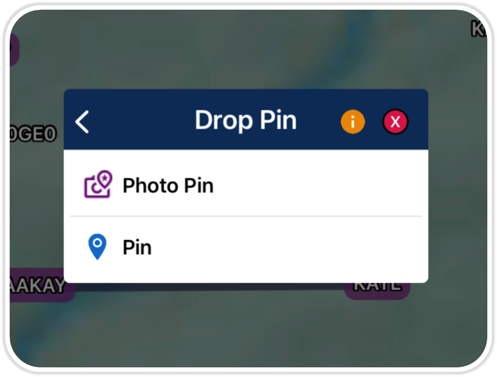
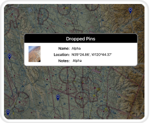
Aero App enables users to drop Pins on the Moving Map to mark specific locations. Pins also contain other useful information like its unique Identifier, Name, Notes, and a photo. Pilots can search their pins by unique identifier and directly add them to their current route.
(Available on Aero App – iOS, Android)
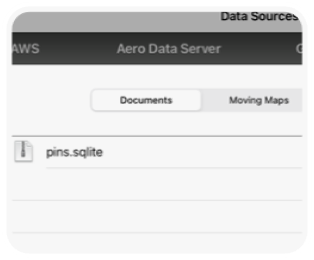
Export Pins
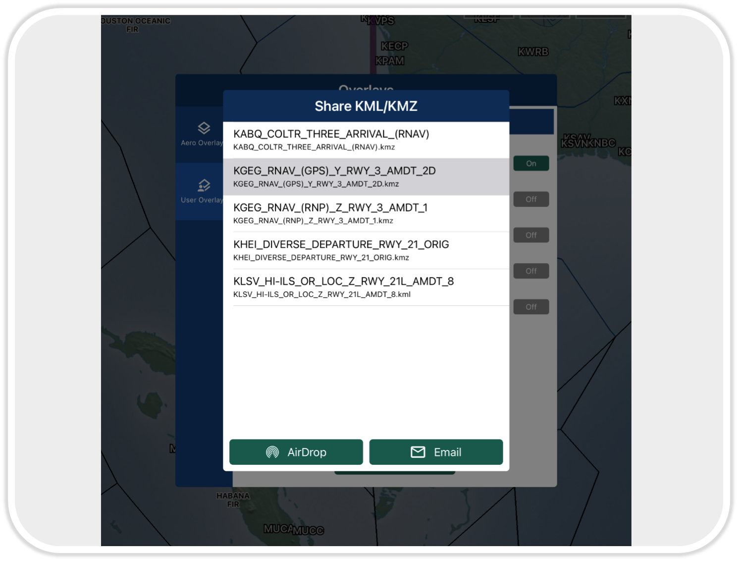
Aero App enables users to drop Pins on the Moving Map to mark specific locations. Users can now export and share pins with other users. Exported pins can be sideloaded and imported into Aero App with unique identifiers for each. Pilots have the ability to overlay loaded pins on the Moving Map and all dropped pins can be viewed from the Route Panel.
(Available on Aero App – iOS, Android)
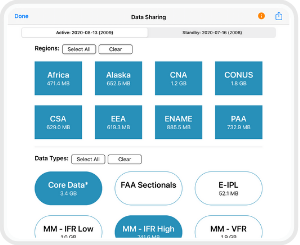
AirDrop
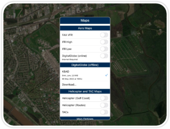
Pilots can share files such as Data Cycles, Maps, and additional files with other iOS devices. AirDrop-compatible files are files that have not been created using delta files.
(Available on iOS)
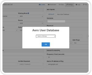
AUD Support on ADS
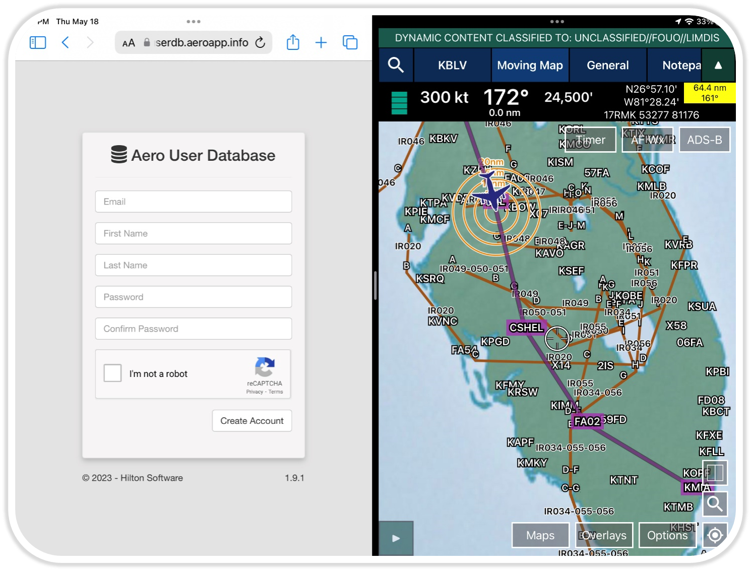
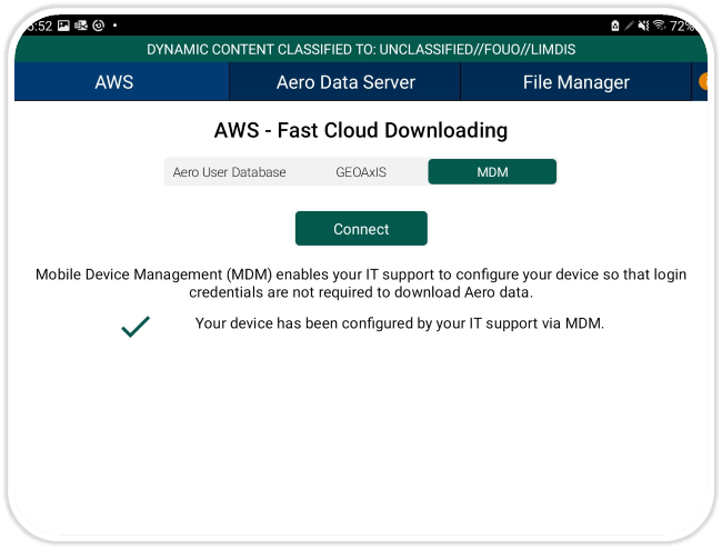
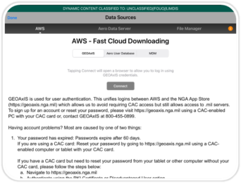
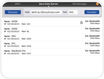
Aero Data Server allows the use of Aero User Database (AUD) credentials to download data.
(Available on ADS – macOS, Windows)
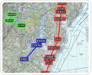
Show Multiple Routes
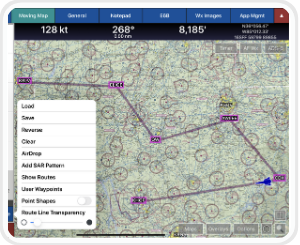
Aero App enables users to show multiple saved routes on the Moving Map simultaneously in different colors. The graphic depiction of multiple routes enables pilots to compare one or more routes.
(Available on Aero App – iOS, Android)
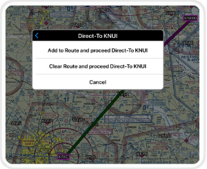
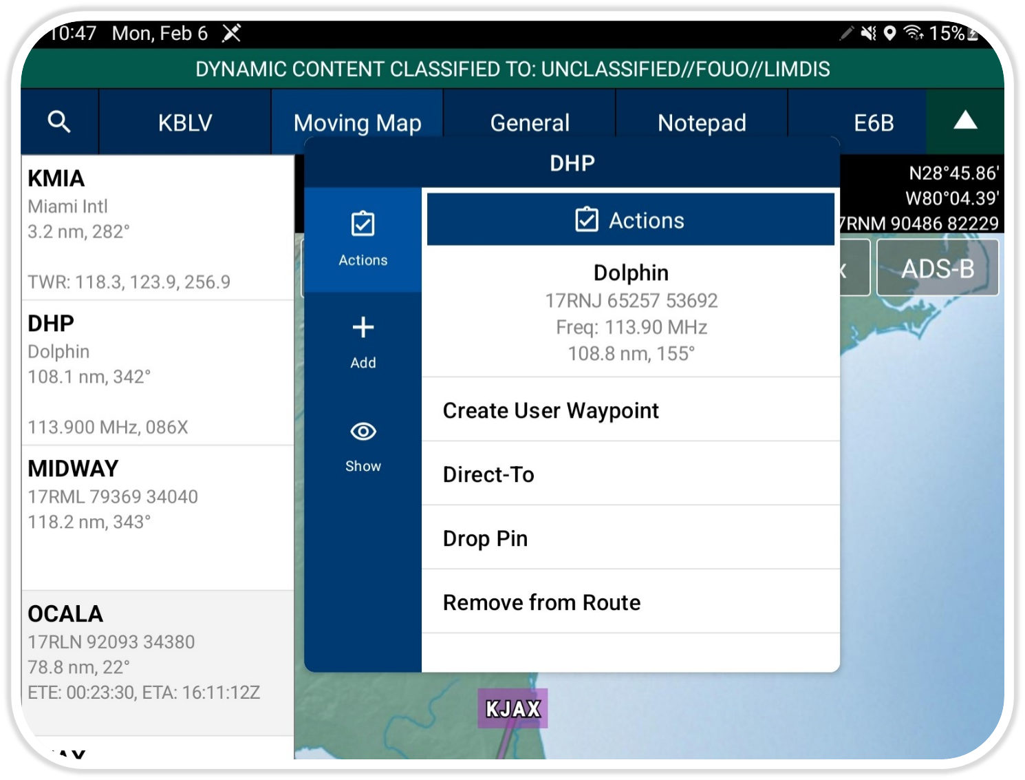
Direct-to
Direct-To enables users to create a route from their current location or modify an existing route to their desired Airport, NavAid, Waypoint, or Coordinate.
(Available on Aero App – iOS, Android)
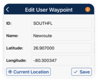
Renaming User Waypoints
Pilots can now rename their user waypoints with a unique identifier and name of their choosing. They can also tap to edit the latitude and longitude of a desired point.
(Available on Aero App – iOS, Android)
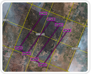
Search and Rescue Grids
Aero App displays world-wide Search and Rescue (SAR) Grids for pilots. Pilots have the ability to display search patterns directly on the Moving Map.
(Available on Aero App – iOS, Android)
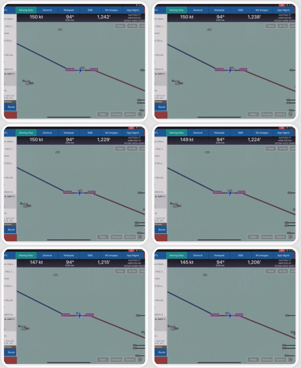
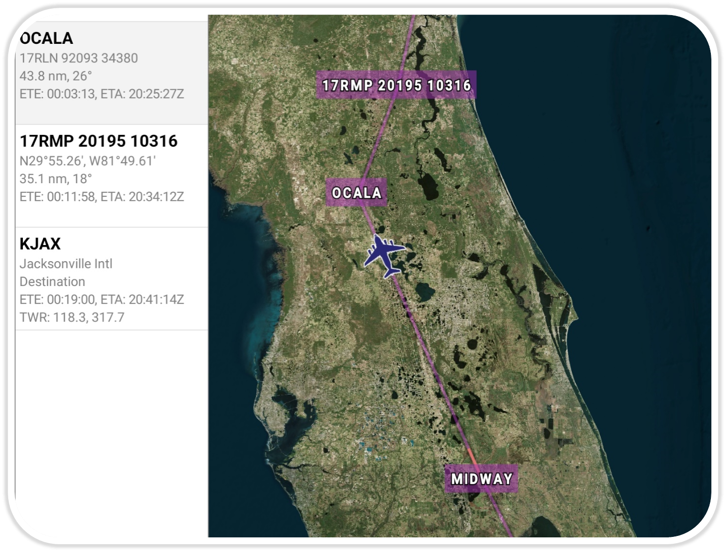
Display Routes
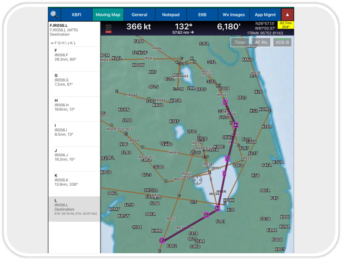
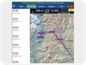
Aero App displays the individual route legs of Departure Procedures (DPs), Standard Terminal Arrival Routes (STARs), Instrument Approach Procedures (IAPs), Airways, and Jetways. The point information includes ICAO codes, frequency information (when appropriate), as well as distance, bearing, Estimated Time Enroute (ETE) and Estimated Time of Arrival (ETA) to the next point in the route. Aero App calculates the Cross Track (XTK) as the vehicle deviates from the route.
(Available on Aero App – iOS, Android)


