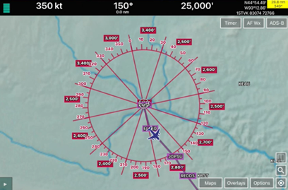
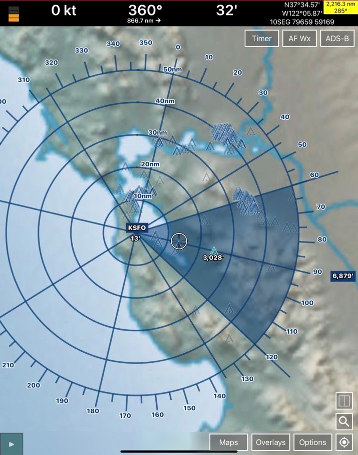
Orbit Coverage and Line-of-Sight features require the Global, Terrain, and Terrain Analysis data be loaded in the Active Cycle. Please refer to the Aero App User Manual, section Orbit Altitude, for more information on utilizing Orbit coverage and the Line-of-Sight features on the Moving Map.
Orbit Coverage
Aero App’s Orbit Coverage calculates the highest altitude using terrain and vertical obstructions in each sector to allow users to safely fly over a given orbit.

Line-of-Sight
Aero App’s Line-of-Sight takes the orbit center into consideration and, in each sector, provides users with the highest altitude.

